 Dr. Nick Bearman completed his PhD in GIS at the University of East Anglia in 2011 and has since worked in both the public and private sectors, using GIS on a wide variety of projects and helping others develop their GIS skills.
He delivers bespoke GIS training programmes to a wide variety of clients including University of Liverpool, ONS, UCL, University of Southampton and American University of Beirut, Lebanon. He is also a Teaching Fellow in Geospatial Analysis at UCL, lecturing on their MSc Geospatial Analysis course within the Department of Geography.
Nick has held post-doc positions at the Universities of Exeter and Liverpool, where he used ArcGIS, QGIS and R on a regular basis to perform GIS analysis in a variety of projects. This included managing big data sets for home-to-school travel analysis, working with a variety of contemporary and historical Census data for the PopChange project and working with Hospital Episode Statistics at the European Centre for Environment and Human Health, University of Exeter.
Nick is a Fellow of the Royal Geographical Society, a Chartered Geographer (GIS) and an Associate Fellow of the Higher Education Authority, with a range of teaching experience including undergraduate, post-graduate and continuing professional development. Nick has over 9 years professional experience teaching GIS, and has been using GIS since his undergraduate degree in 2005! He has worked with ArcGIS, QGIS, R, GeoDa, Google Maps API, Python and a variety of desktop and web based programming languages.
For more information, please email nick@geospatialtrainingsolutions.co.uk, call 01209 808910 or download his CV (PDF, 127kb).
Nick regularly delivers courses with colleagues with a range of different experiences.
Dr. Paul Munday

Dr. Paul Munday is a climate resilience expert and GIS practitioner. He lead’s WSP UK’s climate resilience practice and provides advice to private and public sector clients based in the UK and abroad (including Multilateral Development Banks) across multiple sectors (including infrastructure, energy and the environment) to help mainstream the consideration of climate resilience into projects and programmes.
Paul holds a PhD within the fields of environmental science and GIS. He is a Chartered Scientist (C.Sci), Chartered Water and Environment Manager (C.WEM) and Chartered Geographer (CGeog GIS). He is also a certified member of the British Standards Institute (BSI) Climate Adaptation Committee which is a group of recognised Climate Change Experts that is developing an international ISO (ISO 14091) standard for climate vulnerability and risk assessment.
Paul has published a number of academic papers within the fields of landscape change, land use planning and ecosystem services, including in the prestigious journal Science. He is an Assessor for the Royal Geographical Society’s Chartered Geographer professional accreditation scheme.
Dr. Alex Lewis

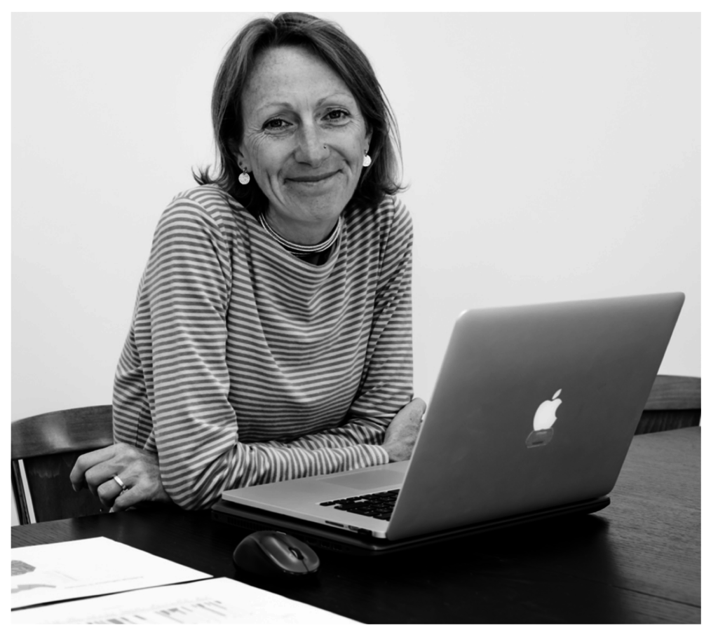
Alex originally trained as a marine biologist at the University of Newcastle-upon-Tyne and holds a PhD from the University of York in spatial ecology and an MSc in Geospatial Analysis from University College London.
Alex has worked as a researcher, field-worker, data analyst and project manager with universities, non-governmental organisations and government departments. She has done this in Venezuela, Mongolia, Kenya and Malaysian Borneo as well as within the UK.
Alex teaches R coding to anyone who would like to learn. She strongly believes that it is something that everyone is very capable of and can really enjoy. She teaches academics, NGO staff, PhD students, undergraduates and sixth-formers.
